Safe Aerial Solutions.
We are committed to providing safe aerial solutions for our clients, with reduced delivery timeframes, cost savings and minimal environmental impact.
Services
Applications
for our services
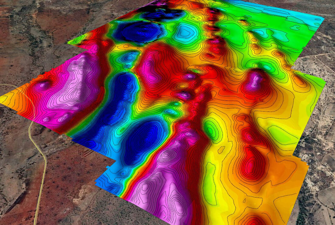
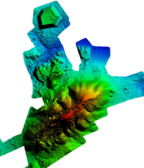
- Topographic mapping
- Ore detection
- Stockpile volumetric calculations
- Infrastructure inspection
- Environmental monitoring
- Change detection
- Water body volume assessments
- Crop counts and audits
- Crop health assessments
- Weed detection
- Flood modelling
- Urban planning & development
- Powerline detection
- Pothole detection
- Detection of illegal structures
- Land use and land cover classification
- Surveillance & Security
- Insurance audits
Why choose Scout Aerial Africa?
Safe
We have a proven safety record and can safely access hazardous areas.
Quick
Rapid deployment with fast data capture and processing.
Accurate
High definition imagery and survey-grade mapping accuracy.
Cost-effective
Reduced downtime, manpower, fieldwork and processing timeframes.