Unleashing Technology to Preserve
Our Biodiverse Planet
In the heart of our natural world, where lush forests stretch as far as the eye can see and the biodiversity of our planet thrives, something extraordinary is taking place in Africa. Above the treetops, beyond the canopy, and high into the skies, technology has taken flight to capture the secrets of nature in ways never before imagined.
But how did we get here? The journey begins with a partnership between Fair-share ESG and Scout Aerial Africa, two organisations committed to harnessing the power of technology for a greater cause. Together, they embarked on a mission that would take them to the very skies they sought to protect.
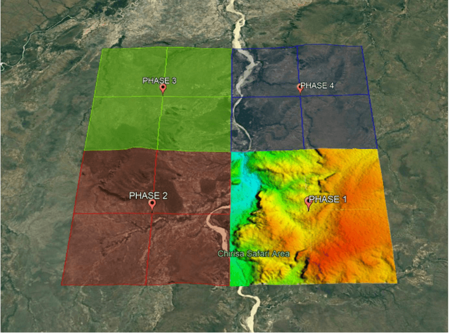
Over the course of three weeks, multiple drones took flight, soaring above the untouched landscapes of our planet. With precision and grace, they captured high-resolution multispectral and RGB data, pixel by pixel, hectare by hectare.
These 550,000 images aren’t just pictures; they are windows into the heart of our natural world.
Processing this vast trove of raw multispectral imagery was a monumental task, one that could have easily overwhelmed even the most advanced systems. Yet, in an astounding display of human determination and computational prowess, it was achieved in just four weeks.

The combined efforts of Fair-share ESG and Scout Aerial Africa transformed raw multispectral imagery into a powerful tool for understanding, preservation, and conservation. It’s a testament to human ingenuity and a dedication to safeguarding our planet.

But the real marvel lies in what these images can tell us. They offer an extremely detailed view of our biodiversity, allowing us to zoom in on individual species and ecosystems with unprecedented accuracy.
Our scientists and researchers can now monitor their health, track changes, and pinpoint threats with a clarity that was once unimaginable, whilst offering a staggering 11,000% increase in efficiency, compared to traditional monitoring methods.
What’s even more astonishing is the project’s ability to estimate carbon biomass output for the entire 30,000-hectare area. As climate change looms large, comprehending our planet’s carbon storage capabilities has never been more critical. This data isn’t just about understanding local ecosystems; it’s a crucial piece in the global puzzle to combat climate change.
As we stand on the precipice of a new era in conservation, let this monumental project serve as a rallying cry. It’s a reminder of what’s possible when technology, corporate responsibility, and a passion for preserving our planet’s natural beauty converge.
The 550,000 images captured across 30,000 hectares are more than just data; they’re windows into the future. They’re a promise that, with innovation and cooperation, we can make a difference—one pixel at a time, one hectare at a time, and ultimately, for the entire planet.
#ScoutAerialAfrica